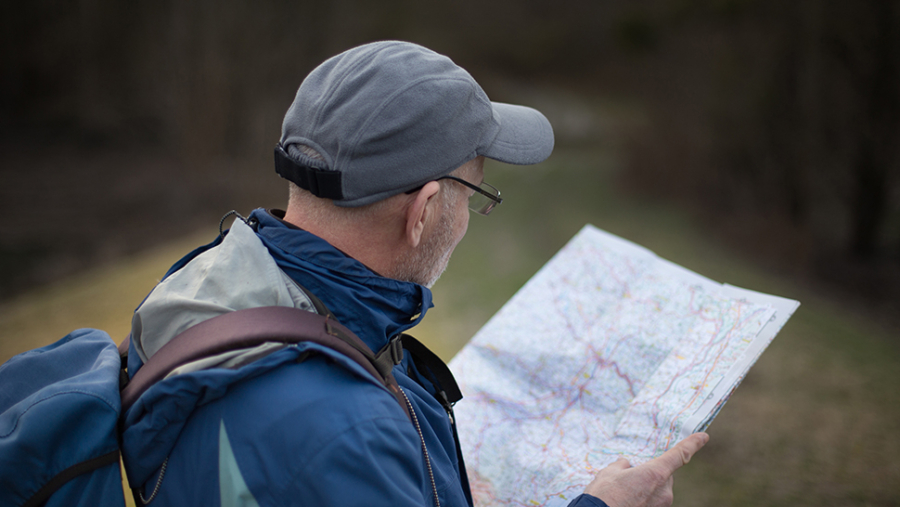

Although often considered an issue confined to the countryside, public access over private land is also a feature of urban life.
A few years ago the Ramblers launched its Don’t Lose Your Way campaign. The purpose of the project was to add public rights of way, based on historic evidence, to the definitive record.
It was borne out of a cut-off date of 2026, i.e., any ways not claimed by that date would be lost forever. The 2026 date was recently extended to 2031 but nothing turns on that for the purposes of this article.
The project relies on volunteers with an interest in public rights of way to review local and national archives for any evidence that rights of way once apparent on historic maps were not shown on the current definitive record.
Interpreting old maps is not straightforward – just because a right of way is shown on a map it is not always clear what its status is, or whether it carries any public rights. If someone believed they had found a “lost way”, they were invited to mark them on a map for review. In many cases thereafter they submitted an application to the local authority to have the way recorded on the definitive record. Once an application is made, affected landowners should receive formal notification.
Local authorities have a duty to consider applications received and the relevant bar at this stage in the process is quite low. In almost all cases these will be dealt with in the order they are received. The project has led to a huge increase in applications to local authorities who already have lengthy backlogs – applications can now take many years, even decades, to be considered.
The issue behind this article can be highlighted by a particular case. A volunteer carried out some research and discovered what appeared to be a public right of way that did not appear on the definitive record. They made an application to the local authority. The evidence in support of the application stated that the volunteer accepted that if the route had been removed from the definitive record by way of a stopping up order – a statutory mechanism for removing rights of way from the record – that would explain why the route was no longer featured. The volunteer did not check to see if there was a stopping order in place. There was.
Following this, the volunteer was approached by the landowner and agreed that the application should not have been made and that he no longer wished to pursue it. This was communicated to the local authority by the volunteer. The difficulty, however, was that the local authority had a duty to consider the application – it cannot simply remove an application from the register.
The local authority’s own guidance provided that, in certain cases, applications could be expedited, but in this instance the local authority refused. At the time of the application this particular authority had over 100 applications pending and confirmed it was processing them at the rate of between four and five per year. On that basis, the volunteer’s application would not fall to be considered for about 20-30 years. During that period, the property would be blighted by the application in the sense that anyone buying the land would see that there was an application to add a public right of way pending.
You may wish to view the Ramblers “lost ways” map and see if any potential routes have been marked over your land – this indication of a potential claim gives you a head start because in many cases the first you will know about a claim is when you receive formal notification. If you have not already received formal notification then it may not yet have been submitted to the local authority.
On a practical point, if you discover any proposed ways marked over your land, you might want to write to the Ramblers and ask them to confirm that any proposed application affecting your land will be subject to proper scrutiny by suitably experienced people.
Even better, carry out your own research or take advice early so that you can submit evidence in support of your position before any application is made. Not every route marked on the map will lead to an application. From everyone’s perspective, it is essential that proposed applications that are bound to fail – for whatever reason – are halted before they are made, otherwise it will take years to be determined and valuable resources will be wasted.


